
It is located at coordinates 20 ° 12 'north latitude and 96 ° 46' west longitude at an altitude of 10 meters above sea level. Bordered on the northwest by Martinez de laTorre, the southwest Misantla, the Vega de Alatorre east and northeast by the Gulf ofMexico.
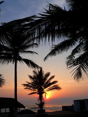
Emerald Coast beach of soft sand with calm waters, is named after the color of theGulf of Mexico waters that bathe the coastline that stretches between the towns ofTecolutla and Nautla. This beach is conducive to water sports like fishing and skiing,plus boating, as well as fishing and sailing.
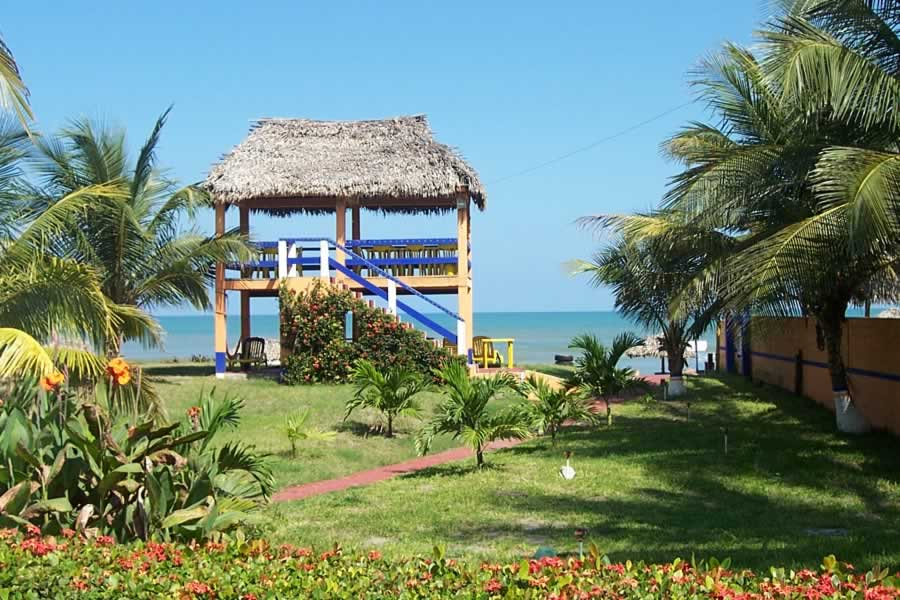
Visitors will find hotels, bungalows and camping areas with mobile homes andexcellent cuisine, rich in flavor and seasoning. Any amount of seafood in all its varietyand type are delicious and incomparable delight. The zacahuil, tamale made of porkand wrapped in banana leaves, it leaves no doubt in amazement. You can also enjoysome delicious pies and other dishes of the region, who undoubtedly arescrumptious.
There are 118 km between Nautla and José Cardel. Along this scenic route you will find a variety of attractive places such as Barra de Palmas, located near the river mouth Misantla.
Surroundings offer beautiful beaches for relaxing or fishing.
also visit
Maracaibo Playa 1.5 to the east of the county seat, with fine sand and slopes gentlyand regular waves, where traditional fishing practices with a variety of species:snook, snapper, sea bream and sea bream


Ver mapa más grande
No comments:
Post a Comment